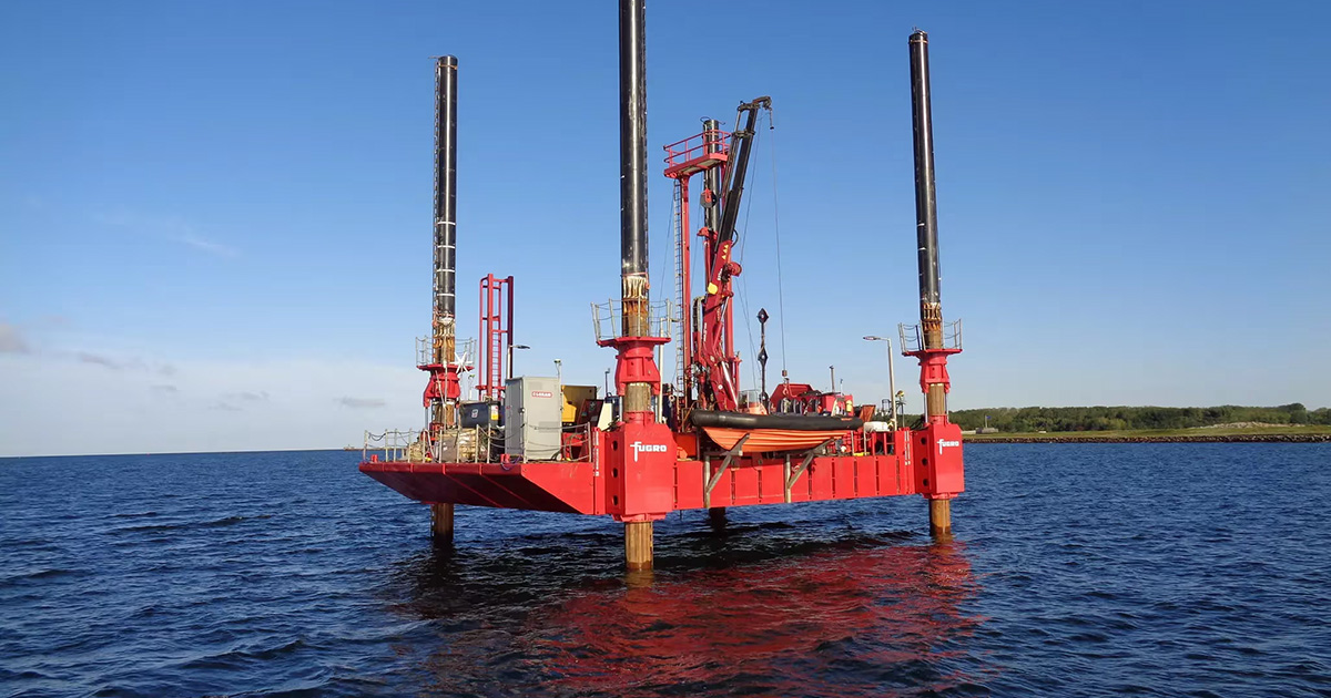
Under the framework, Fugro will provide desktop studies, geophysical, environmental, and geotechnical surveys. These investigations will result in a fully integrated ground model, giving EirGrid a detailed understanding of subsurface conditions for installing transmission infrastructure and protecting Ireland’s marine ecosystem. Operations are set to begin in July 2025, starting with the geophysical and environmental surveys.
All Geo-data will be delivered through Fugro’s VirGeo®, a cloud-based Geo-data platform, offering secure, real-time access to data and project insights, enhancing collaboration across stakeholders.
“We’re proud to support EirGrid in delivering critical infrastructure for Ireland’s offshore energy future,” said John ten Hoope, Fugro’s Regional Business Line Director for Marine Site Characterization Europe and Africa. “By providing end-to-end Geo-data solutions delivered efficiently through our advanced technologies and local collaborations, we are setting the foundation for safe, sustainable, and accelerated offshore wind development along the south coast.”
The project area is complex, spanning four distinct geographical zones: onshore, intertidal, nearshore, and offshore. To conduct operations in these areas, Fugro will deploy specialized offshore vessels, including the Fugro Seeker and Kommander Iona, as well as jack-up barges for shallow-water activities. In support of the local economy, the company is also working closely with Irish-based suppliers to deliver key services, such as metocean data collection and aerial drone surveys, that enhance and complement its data insights.
This project directly supports the Irish Government’s climate action plan, which targets expanding Ireland’s renewable energy capacity to 80%, including at least 5 GW of offshore wind energy. Robust grid connections such as those developed under this framework are critical to integrating offshore wind into the national energy system.
